Scotland
Ben More Assynt South Top
959M
3147FT
About Ben More Assynt South Top
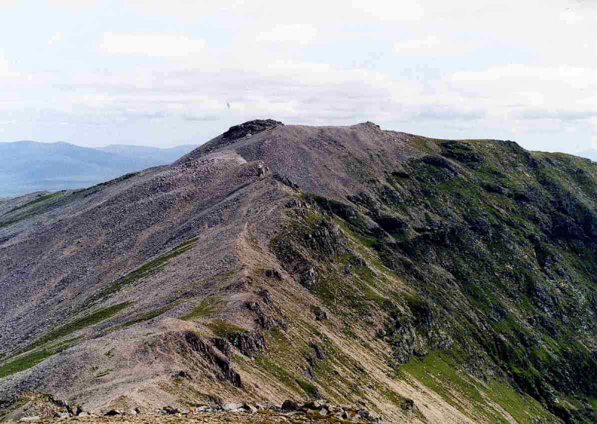
Sitting on the shattered southern ridge of Sutherland’s highest peak, this Munro Top provides a rugged, quartzite-strewn extension to the classic Conival circuit. It is a place of stark, pale rock and immense solitude, offering a loftier perspective on the wild, roadless hinterland that stretches away towards the eastern coast.
Key Statistics
Rank
5th Highest in Region
Parent Range
North West Highlands
Prominence
?
46.8m
Nearest Town
Highland
Geology
You are trekking across ancient banded rocks and tough white sandstone, sliced by dark veins of once-molten rock.
Classifications
Find It
OS Grid Reference
NC324192
Latitude
58.1307°N
Longitude
4.8479°W
Did You Know?
- •The name derives from the Scottish Gaelic Beinn Mhòr Asaint, meaning 'Big Mountain of Assynt'. The area name 'Assynt' is thought to have Old Norse origins, possibly meaning 'out-end' or 'ridge-end', reflecting the Viking influence on the northwest coast.
- •The summit is heavily mantled in shattered Cambrian quartzite. These pale, jagged boulders reflect the light so effectively that the ridge often appears to be covered in snow even during the height of midsummer.
- •Most walkers reach this point as a secondary objective after summiting Ben More Assynt, following the narrow, bouldery crest south for roughly a kilometre to reach the high point of the ridge.
- •The summit provides a direct, airy view down into the remote corrie of the Dubh Loch of Beinn Mhor, one of the most secluded and inaccessible glacial hollows in the North West Highlands.
- •Because the mountain is hidden from the main A837 road by the bulk of Conival, this southern extension is one of the few places where you can fully appreciate the true, massive scale of the Ben More Assynt massif without another hill blocking the view.
- •Navigating the ridge in mist requires care; the uniform grey-white quartzite boulders look identical in every direction, and the lack of a distinct path makes finding the true high point a test of patience for your ankles.