Scotland
Beinn Lochain
703M
2306FT
About Beinn Lochain
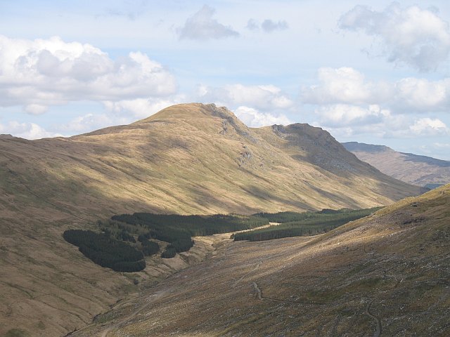
Rising above the rugged northwest coast of Arran, this granite Graham offers a quieter alternative to the island's bustling main peaks. Its rocky ridges provide a rough, heathery ascent, rewarding walkers with wild views across the Kilbrannan Sound towards the Kintyre Peninsula and the high, jagged spires of the northern Arran hills.
Key Statistics
Rank
13th Highest in Region
Parent Range
The Isle of Arran
Prominence
?
375.4m
Nearest Town
Data coming soon
Geology
You are walking on Beinn Bheula Schist, a foundation of layered rocks that originally formed from ancient deposits of mud and sand.
Find It
OS Grid Reference
NN160006
Latitude
56.1627°N
Longitude
4.9644°W
Did You Know?
- •The name is Gaelic in origin, with Beinn Lochain translating as 'Mountain of the Little Loch'. This refers to Lochan nan Cat, which sits in the deep, steep-sided corrie on the mountain's eastern flank.
- •The hill is frequently climbed in tandem with its slightly higher neighbour to the north, Meall nan Damh, as part of a rugged circuit starting from the coastal road near Catacol.
- •From the summit, the view west is dominated by the Kintyre Peninsula and the distinctive Paps of Jura beyond, while looking east provides a sharp profile of the 'Witch's Step' (Ceum na Caillich) on the Caisteal Abhail ridge.
- •Unlike the popular granite peaks around Glen Rosa, this area of the island sees significantly fewer boots; the ascent is pathless in many sections, requiring navigating through heavy heather and over rocky outcrops.
- •The 'Little Loch' from which the hill takes its name is often better at collecting low clouds than providing a scenic picnic spot, frequently vanishing into the mist just as you gain the summit ridge.