Scotland
Beinn Fhada
952M
3123FT
About Beinn Fhada
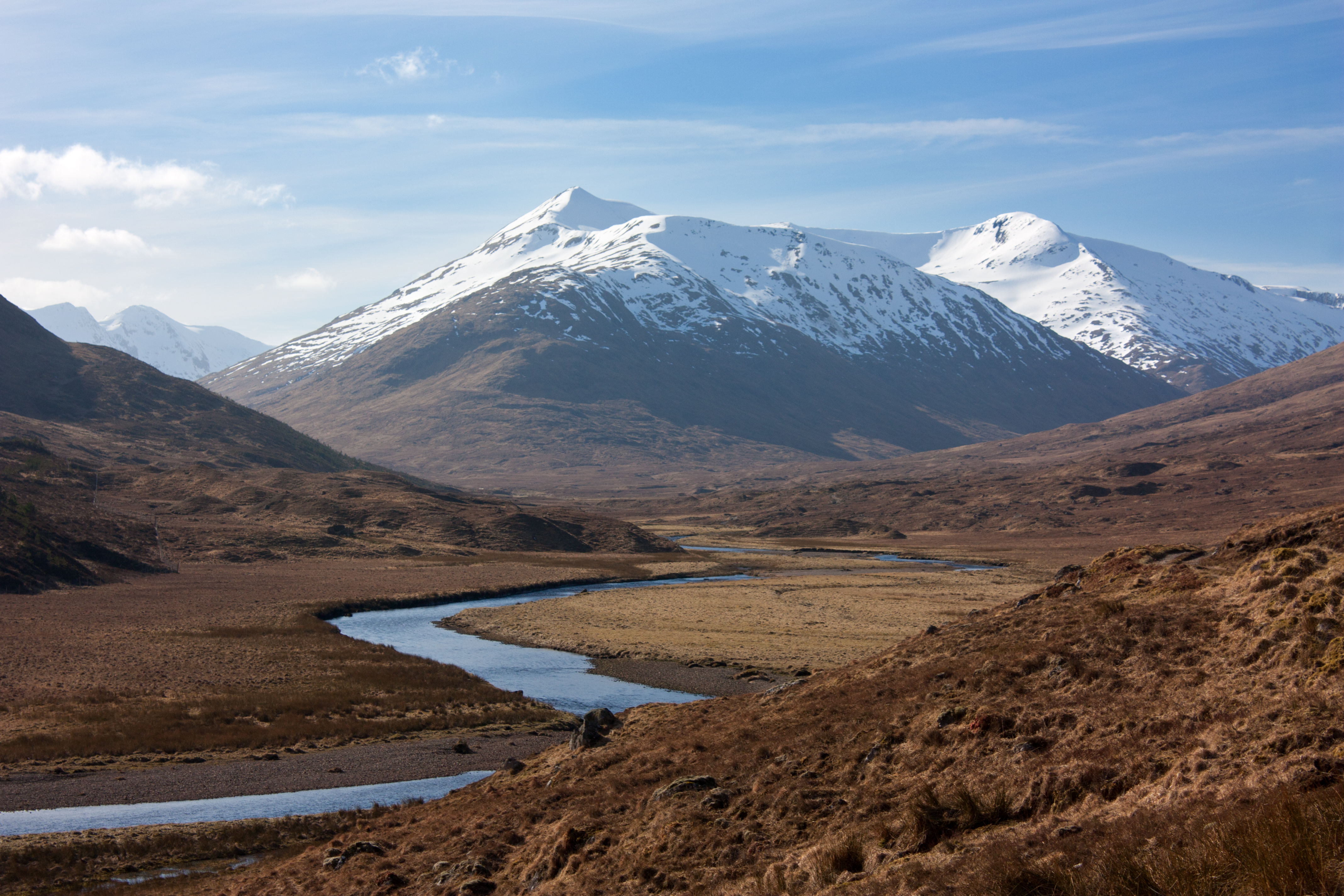
This high-level ridge extends southeast from the mighty Binnein Mòr, offering a sense of remote isolation within the Mamore range. Predominantly grassy with rocky outcrops, the summit provides a spectacular vantage point over Loch Eilde Mòr and the vast, watery expanse of the Blackwater Reservoir towards the southern Highlands.
Key Statistics
Rank
40th Highest in Region
Parent Range
The Grampians
Prominence
?
50m
Nearest Town
Highland
Geology
You are trekking across ancient layers of volcanic rock and ash, combined with sedimentary rocks like sandstone and siltstone to form this rugged mountain landscape.
Classifications
Find It
OS Grid Reference
NN159540
Latitude
56.6420°N
Longitude
5.0027°W
Did You Know?
- •The name Beinn Fhada is Scottish Gaelic for 'Long Mountain', a literal description of the elongated spur that stretches away from the main Mamore massif.
- •Most walkers reach this summit as a detour during an expedition to Binnein Mòr, the highest peak in the Mamore range, rather than as a primary objective.
- •From the summit, there is a clear profile view of the Grey Corries to the north and the jagged silhouette of the Aonach Eagach ridge across the valley to the south.
- •The hill overlooks the lonely Coire an Lochan, a high-altitude corrie that remains one of the more secluded and quiet corners of the otherwise busy Fort William area.
- •It bears the same name as a significantly more famous Munro in Kintail, a fact that has led more than one map-reader to realize they are on the wrong 'Long Mountain' entirely.