Scotland
Beinn an Eoin
663M
2175FT
About Beinn an Eoin
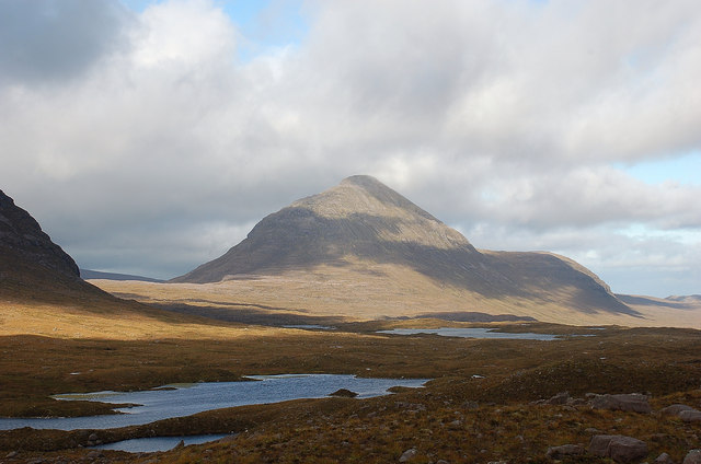
Rising above the western reaches of the Great Glen, this rugged Tump offers a quieter alternative to the busier peaks near Fort Augustus. Its heathery slopes lead to a wide summit ridge, providing a clear vantage point over Loch Ness and the wild hinterland of the Dundreggan Forest.
Key Statistics
Rank
201st Highest in Region
Parent Range
The Grampians
Prominence
?
48m
Nearest Town
Highland
Geology
You are walking on the Tarvie Psammite Formation. This rugged ground is made of ancient sand that heat and pressure transformed into hard, durable rock.
Find It
OS Grid Reference
NH242090
Latitude
57.1382°N
Longitude
4.9068°W
Did You Know?
- •The name is derived from the Gaelic 'Beinn an Eoin', which translates as 'Hill of the Bird', likely a reference to the golden eagles that hunt across these high, heathery plateaus.
- •From the summit, walkers are rewarded with a distinct perspective of the Great Glen's linear trench, with clear views across to the Monadhliath mountains and the northern end of Loch Ness.
- •The hill is a prominent feature of the landscape above Glen Moriston, an area historically significant as a hiding place for Jacobite fugitives following the Battle of Culloden.
- •Despite its modest 663-metre height, the lack of established trails means the ascent requires more navigational focus than many hills twice its stature.