Lake District
Bannerdale Crags
684M
2244FT
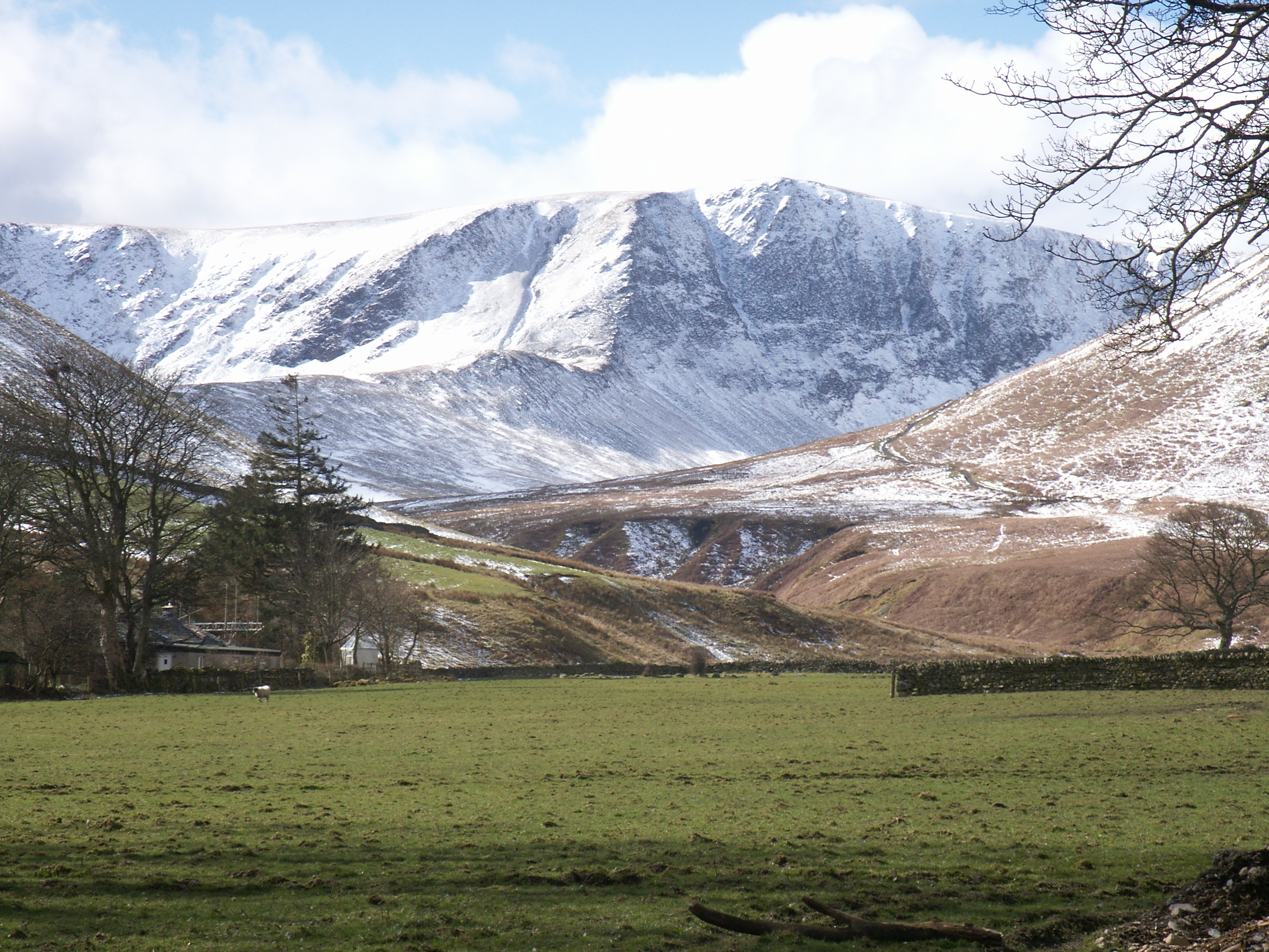
About Bannerdale Crags
Bannerdale Crags offers a striking contrast between its gentle, grassy western slopes and the dramatic, vertical drop of its eastern face. It’s a quiet alternative to nearby Blencathra, providing fantastic views into the deep glacial trough of Bannerdale and across to the distinctive hump of Souther Fell.
Key Statistics
Rank
171st Highest in Region
Parent Range
Northern Fells
Prominence
?
37m
Nearest Town
Scales
Geology
The crags sit on the Kirk Stile Formation, made of soft mudstone and fine‑grained siltstone that were laid down as ancient river and flood‑plain sediments.
Find It
OS Grid Reference
NY335290
Latitude
54.6519°N
Longitude
3.0317°W
Did You Know?
- •The fell is primarily composed of Skiddaw Slates formed roughly 500 million years ago, creating smooth western slopes that terminate abruptly in the sheer, fractured cliffs of its eastern face.
- •Etymologists believe the name derives from the Old Norse 'bān-dalr,' meaning 'the valley where beans were grown,' a nod to the area's ancient agricultural history.
- •In the valley below the crags, the 19th-century Bannerdale Mine extracted lead and silver; hikers can still spot the old spoil heaps and level entrances near the Glenderamackin.
- •The crags are a renowned nesting site for ravens and peregrine falcons, who take advantage of the steep rock steps to raise their young away from the busier trails of nearby Blencathra.
- •Despite the 'crags' in its name, the summit is so flat and grassy that in thick mist, it feels less like a mountain top and more like a very high, very lost bowling green.